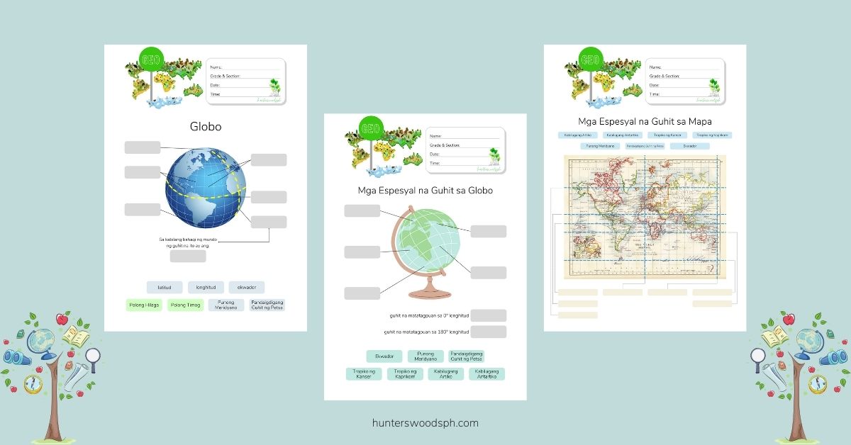
Araling panlipunan and geography lesson and worksheets on maps, globes, latitude, longitude, and the imaginary lines of the earth
Tag: Araling Panlipunan worksheets
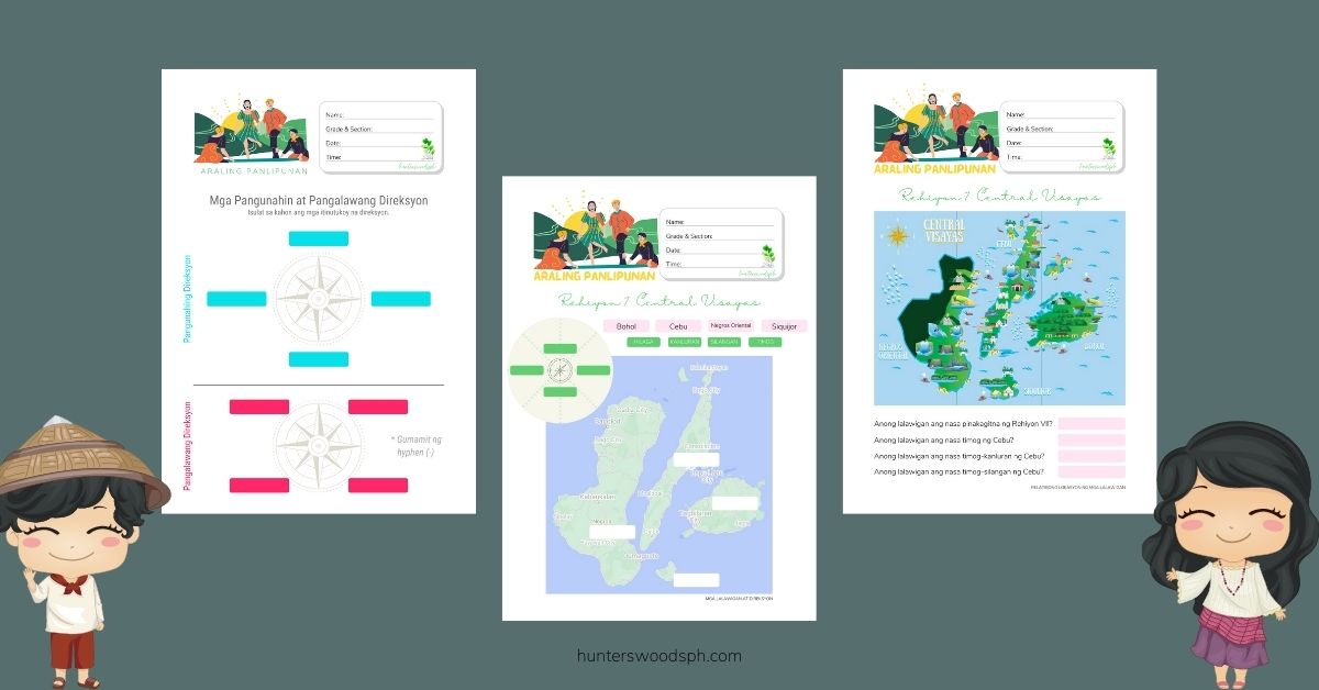
Pangunahing Direksyon, Pangalawang Direksyon, Compass Rose, at North Arrow
A quick lesson and 4 free worksheets on the pangunahing direksyon, pangalawang direksyon, the compass rose, and the north arrow in the Philippine context.
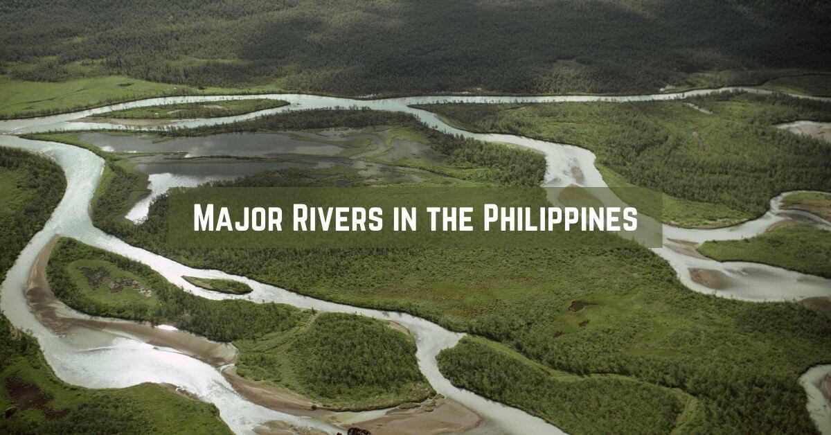
The Major Rivers in the Philippines
In this article, we discuss the longest rivers in the Philippines, their ecological roles, as well as the status of other well-known rivers in the country.
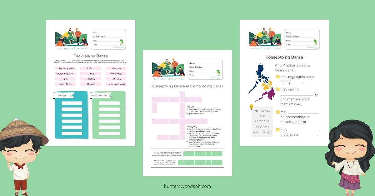
Pagkilala sa Bansa: Lesson and Worksheets in Araling Panlipunan 4
This quick “Pagkilala sa Bansa” lesson tackles the concept of a country. What is a country? Why is the Philippines a country? When can a place be considered a country? Worksheets are included to aid students in mastering konsepto ng bansa.
Araling Panlipunan Rehiyon VII: Quick Lesson and Free Worksheets
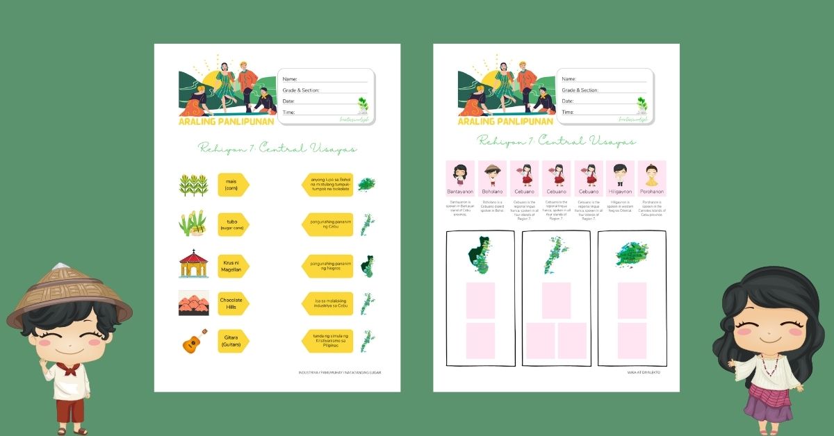
A quick lesson and free worksheets on the provinces, borders, topography, industries, livelihood, languages and places of interest in Rehiyon VII – Gitnang Visayas.
Montessori Lesson: Ang Aking Sarili (Araling Panlipunan)
This set of worksheets aims to acquaint students with the questions commonly asked and answered when introducing oneself in Filipino (Tagalog).

